← Settlement maps P—56 · Interactive research map
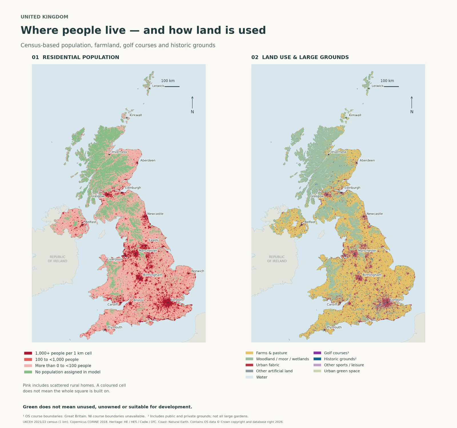
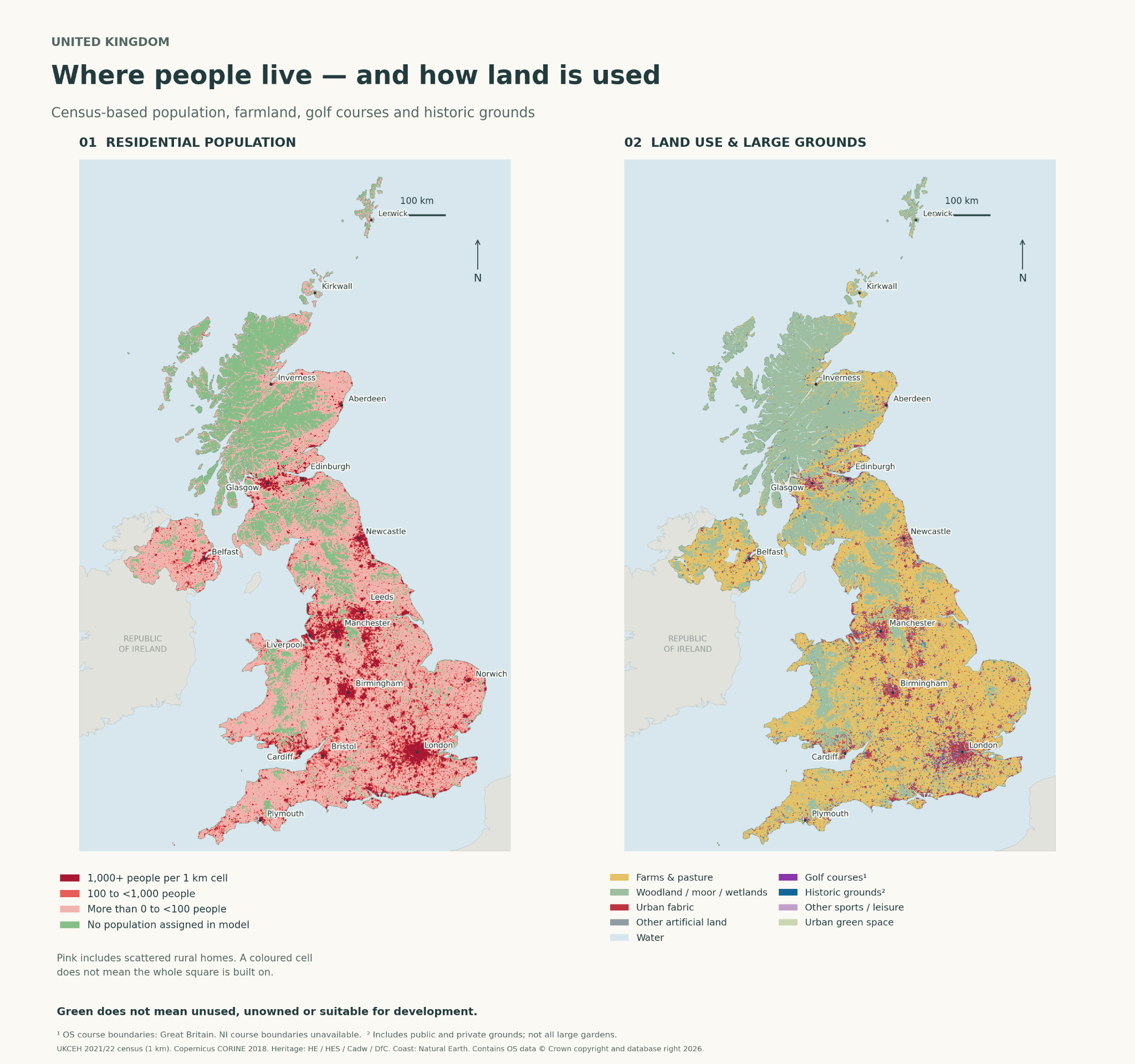
UK population Explore where people live alongside land cover, selected historic landscapes and golf courses. Use the original layer controls, location search and source notes to inspect the data.
Low population does not mean unused or available land. The population grid, land-cover layer and other records have different dates and coverage. The source notes identify UKCEH population data for 2021/22 and CORINE 2018 land cover. The golf layer covers Great Britain; it does not include Northern Ireland. Historic landscape boundaries are not ownership parcels.
These layers do not establish land title, consent, food-system impacts, ecological suitability or permission to build.
Use the full-tab link above to open the complete interactive map.