What would it take to give people a secure place to live, room to contribute and a future they can help shape? This proposal brings homes, livelihoods, care, democratic space and environmental responsibility into one connected design.
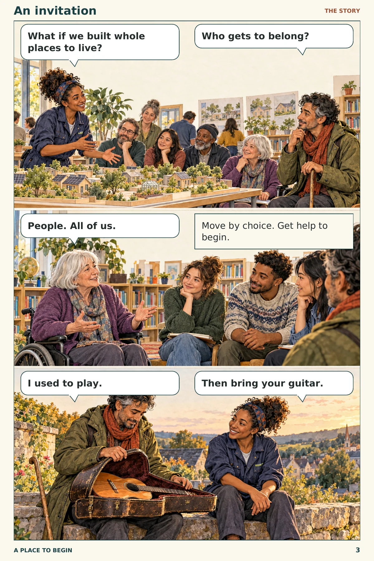
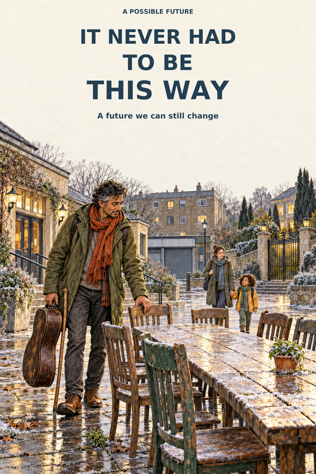
From A Place to Begin · Part 3 of the four-part graphic novel sequence. Start with part 1 below to follow the full progression.
A voluntary route into a working place
Start with 5,000. Plan the whole place.
The concept begins with a functioning community of 5,000 people, with the eventual development footprint reserved from the outset. Homes grow alongside jobs, enterprise, education, care, transport, water and energy. Permanent green zones sit outside that footprint and remain protected as the settlement develops.
5,000A functioning beginning
Homes, livelihoods, working utilities and accessible everyday services.
10,000Grow with provision
Expand inside the reserved footprint as need and service capacity grow.
25,000A broader community
More education, care, workshops, markets and transport connections.
50,000The planned capacity
Complete the reserved footprint; connect to other settlements and national systems.
Participation is voluntary. The proposal does not require forced relocation, birth quotas or separating families. It retains national coordination, sterling, pooled finance, trade and private enterprise while seeking wider ownership, lower essential burdens and dependable public services. Higher real GDP is an explicit aim alongside household security, ecological condition and quality of life.
Read in this order · all 52 pages, including notes
Four stories. One question about the future.
The sequence moves from an ordinary life and the need for care to a possible place to begin, then an alternative warning about what could happen if problems are left to compound. These illustrated narratives draw on lived experience and research; their fictional casts are not findings against named people.
Part 01 · 12 pages
Before the Silence
Music, friendship and an ordinary life give way to exhaustion, persistent pain and a search for somewhere to belong.
An imagined warning branch explores what could be lost when inequality, failed care, conflict and environmental pressures compound. It is not a forecast.
Population, Permission and Sustainability develops the settlement design across population evidence, land, independent living, homes, shared services, livelihoods, public finance, ecology and accountable institutions. The complete paper includes its appendices and reference register.
Explore the geography · keep the assumptions visible
Space on a map is only the beginning.
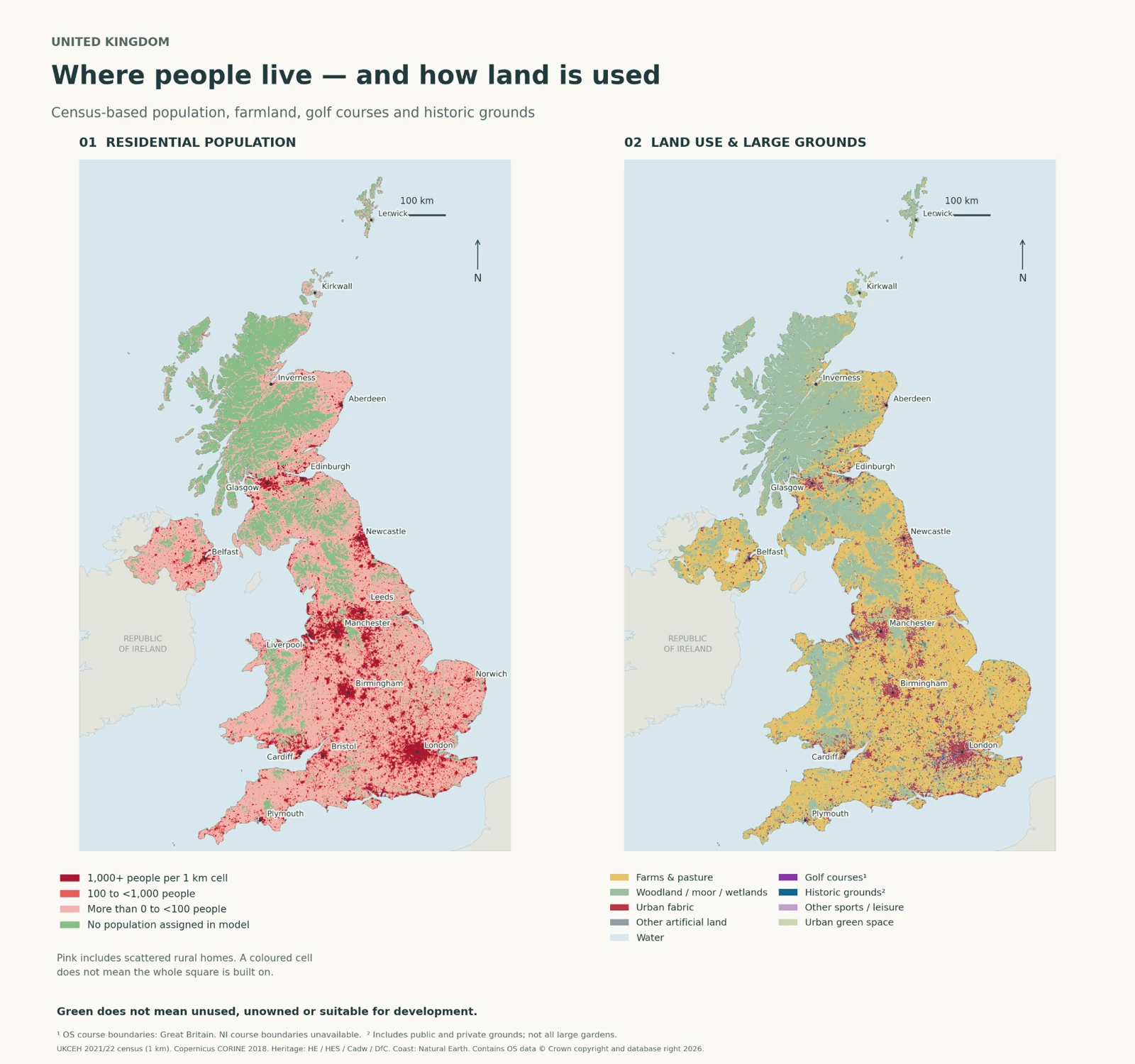
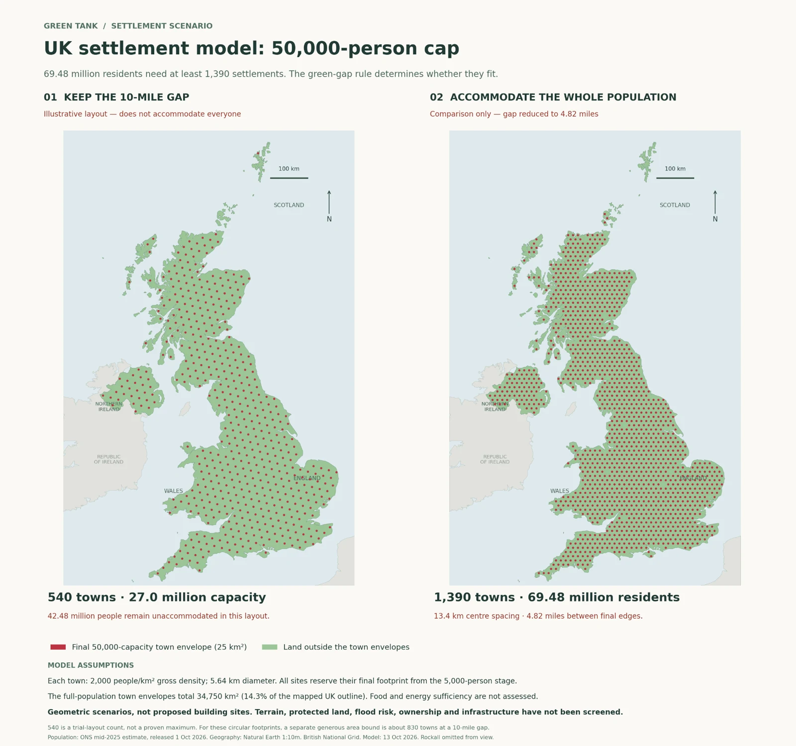
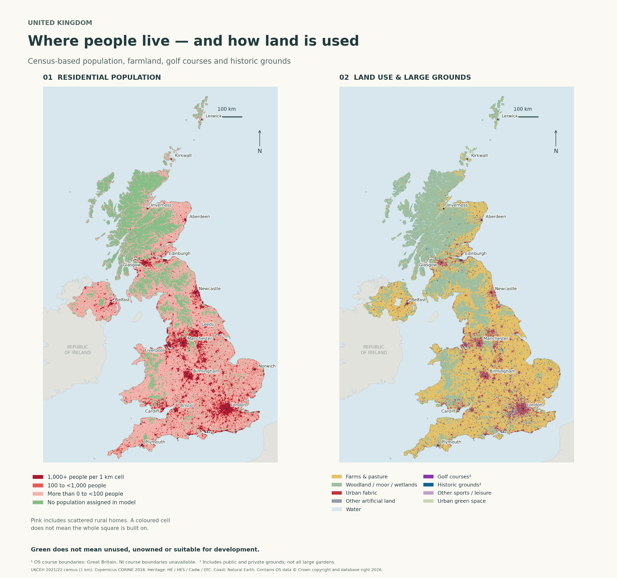
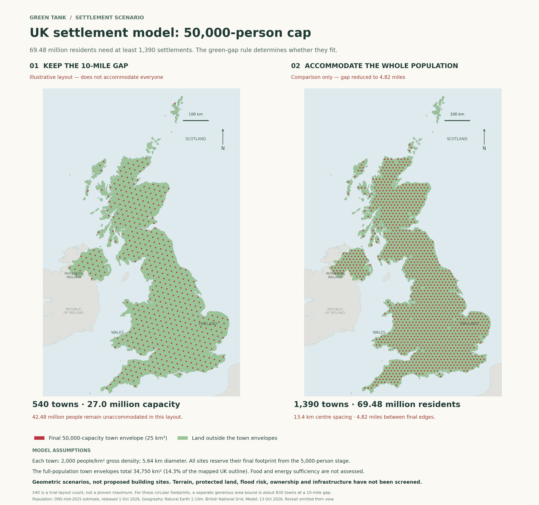
Two interactive maps let you inspect population and land-use patterns, then compare possible settlement layouts. They are geometric and descriptive research tools. A plotted circle is not a suitable site, a planning permission or a finding that land is available.
Population and land use
Inspect population, land cover, selected historic landscapes and golf-course layers, with the original controls and source notes. The datasets have different dates and coverage; golf coverage is Great Britain, not all of the UK.
Compare a trial layout retaining a ten-mile edge gap with a whole-population illustration that uses a smaller gap. Change scenarios and inspect the arithmetic, assumptions and limits.
The legal and land-control research, current routes across the UK, sixteen proposed independent-living protections and the practical delivery questions.
These publications offer related ideas, technologies and institutional designs to examine. Each keeps its own evidence, development stage and limits; linking them does not establish that the combined system has been tested.
All fifteen distinct source files are available below. The four novels keep every page and endnote. The maps can be saved as self-contained HTML files; their original PNG overviews are included as well.